Living Near Cedar Creek Greenway, Mt. Juliet: A Buyer's Guide
If you're researching living near Cedar Creek Greenway, you're likely looking for the practical answer that Google doesn't give you in one search: which specific neighborhoods sit close enough to walk or bike directly onto the trail, what those homes cost in 2026, and whether the trail's actual use pattern matches the lifestyle pitch. Cedar Creek Greenway is one of Mt. Juliet's defining amenities, and it's been a consistent driver of buyer interest from people relocating from Nashville and from out of state. This guide walks the corridor honestly.


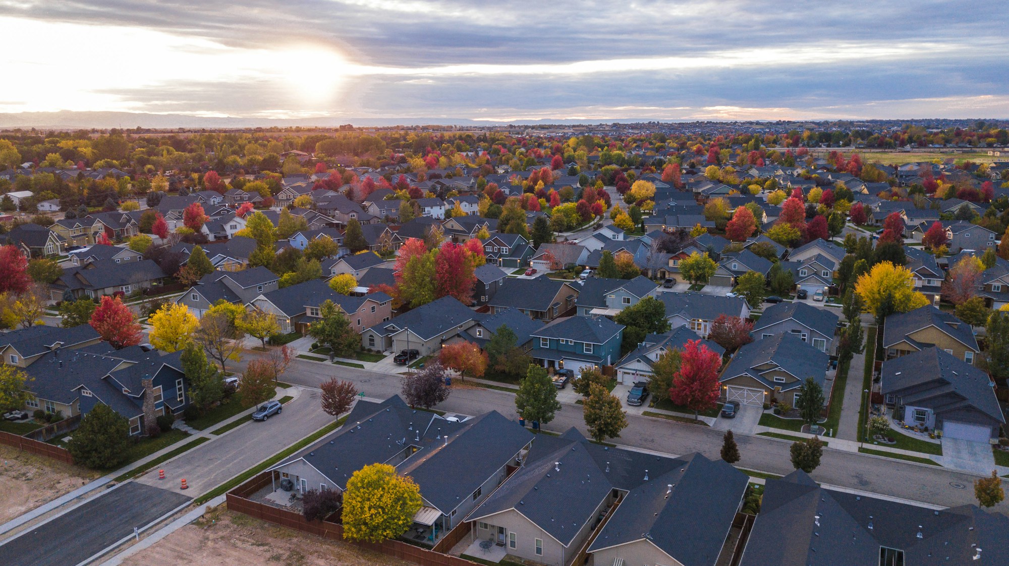
TL;DR: Cedar Creek Greenway is Mt. Juliet's paved trail system following Cedar Creek through the city's west and central corridors. The neighborhoods within a 10-minute walk of trail access — Willoughby Station, parts of older central Mt. Juliet, several streets off Curd Road, and the newer communities along Lebanon Road and Belinda Parkway — carry a meaningful lifestyle premium for buyers who prioritize daily outdoor access. Median Wilson County single-family pricing in early 2026 was about $475,000 per Greater Nashville REALTORS; greenway-adjacent inventory in Mt. Juliet typically runs $475K–$725K depending on subdivision and proximity.
If you're researching living near Cedar Creek Greenway, you're likely looking for the practical answer that Google doesn't give you in one search: which specific neighborhoods sit close enough to walk or bike directly onto the trail, what those homes cost in 2026, and whether the trail's actual use pattern matches the lifestyle pitch. Cedar Creek Greenway is one of Mt. Juliet's defining amenities, and it's been a consistent driver of buyer interest from people relocating from Nashville and from out of state. This guide walks the corridor honestly.
Table of Contents
- What Cedar Creek Greenway Is and Where It Runs
- Neighborhoods With Direct Trail Access
- Home Prices Along the Greenway Corridor
- The Daily-Use Reality of Trail Access
- Commute and What's Nearby
- Schools and the Practical Stuff
- Pros and Cons of Greenway-Adjacent Living
- Frequently Asked Questions
- A Local's Take
What Cedar Creek Greenway Is and Where It Runs
Cedar Creek Greenway is Mt. Juliet's paved multi-use trail system following the Cedar Creek waterway through the city. The trail is asphalt-surfaced, roughly 10 feet wide, ADA-accessible along most of its length, and designed for walkers, runners, cyclists, and strollers. As of 2026, the developed system runs in segments through central and west Mt. Juliet with connector points at Charlie Daniels Park (Mt. Juliet's primary city park) and several neighborhood trailheads. The City of Mt. Juliet has expanded the trail incrementally since the early 2010s, with additional segments planned as part of the city's long-range parks and greenways master plan.
The corridor follows Cedar Creek through wooded buffers, around small ponds, past a few playgrounds, and through subdivision back-edges where developers preserved trail access as part of the original community planning. The trail's character changes meaningfully along its length — some segments run in deep tree canopy, others cross open fields with creek views, and a few stretches pass directly behind subdivision lot lines. For a buyer evaluating greenway proximity, walking the specific trailhead nearest a candidate home tells you more than the master-plan map does.
For current trail maps and segment status, the City of Mt. Juliet parks and recreation page maintains the official trail documentation. The trail is free and open dawn to dusk year-round.
Neighborhoods With Direct Trail Access
"Direct trail access" means a buyer can walk or bike from their property onto the greenway without driving. The Mt. Juliet subdivisions and corridors that fit that definition as of 2026:
- Willoughby Station — established master-planned community with multiple internal connectors onto the greenway system. Direct access from several sections of the subdivision.
- Sections of older central Mt. Juliet — streets feeding off Lebanon Road and Beckwith Road where the trail passes near or through neighborhood edges.
- Several streets off Curd Road and Golden Bear Gateway — newer subdivision sections where developers built greenway connectors as part of community planning.
- Belinda Parkway corridor — a mix of older and newer inventory with proximity to trail segments running through that part of the city.
- Streets adjacent to Charlie Daniels Park — the park serves as a major greenway access node, so any home within walking distance of the park is effectively also within walking distance of the trail.
- Newer master plans like Tomlinson Pointe and parts of Catelonia — within a short walk of trail access points, depending on lot orientation within the community.
The actual "10-minute walk" radius is what most lifestyle-driven buyers care about, and that distance covers more inventory than just the homes lot-line-adjacent to the trail. Walking 0.4 miles in 10 minutes pulls a meaningful chunk of central and west Mt. Juliet into "greenway-adjacent" territory.
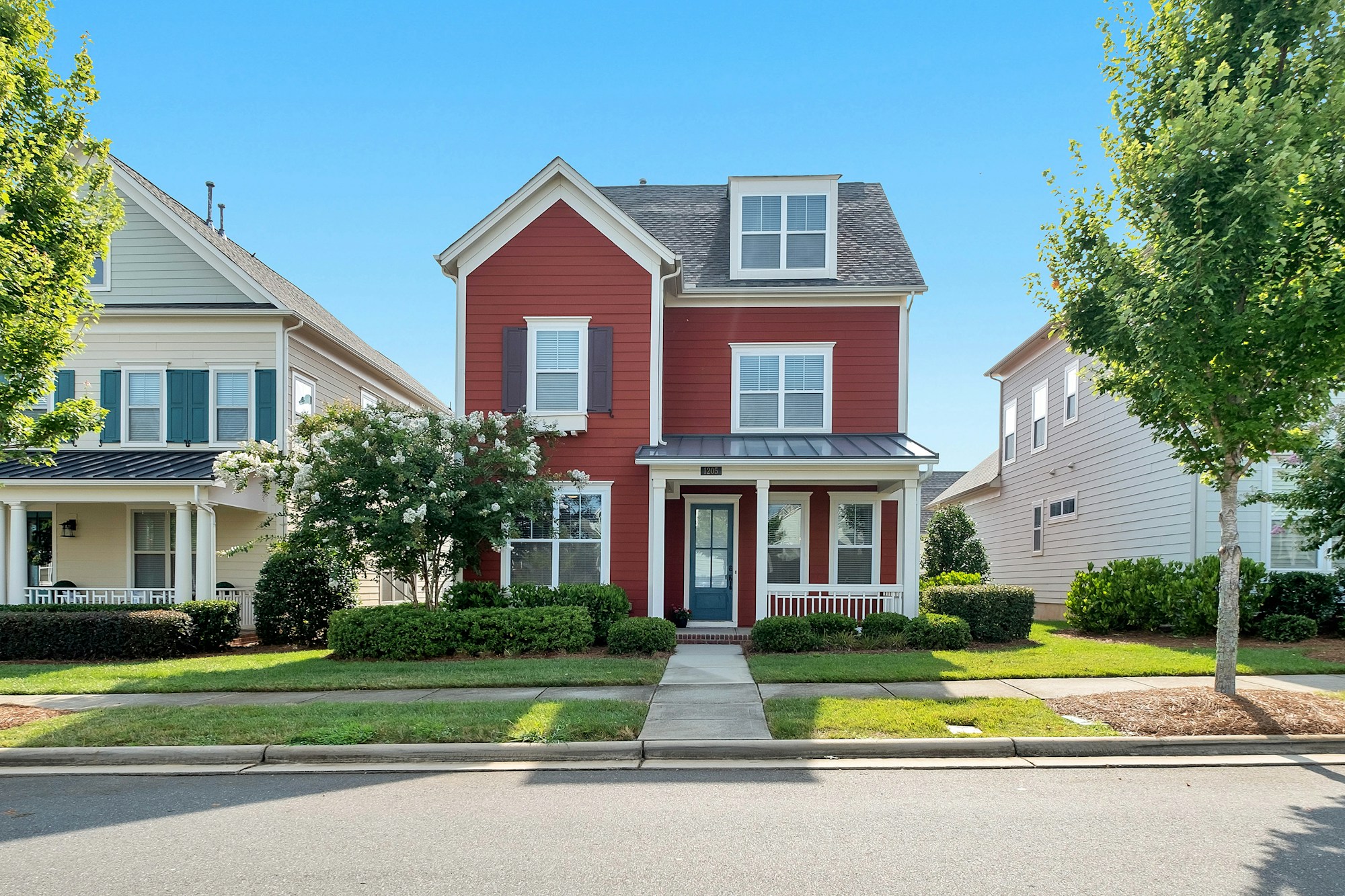
Home Prices Along the Greenway Corridor
As of May 22, 2026, Wilson County's single-family median sale price was approximately $475,000 per Greater Nashville REALTORS data (retrieved May 22, 2026). Greenway-adjacent inventory in Mt. Juliet skews above that median because Mt. Juliet itself runs at the higher end of the Wilson County pricing distribution, and homes with trail proximity tend to carry a soft premium of 3–8% versus equivalent non-adjacent inventory.
Rough price bands by subdivision type and trail proximity in 2026:
$400K–$525K — older central Mt. Juliet homes with walking-distance trail access but typically older finishes; some Willoughby Station resale at the lower end of that range; smaller-footprint newer townhome and patio product where it exists.
$525K–$650K — most Willoughby Station resale inventory; mid-range Belinda Parkway corridor homes; older homes with full renovation; smaller new-construction product with trail proximity.
$650K–$825K — newer master-plan inventory with greenway connectors (Catelonia, parts of newer Lebanon Road and Curd Road communities); larger Willoughby Station resale; renovated executive homes in the central corridor.
$825K and up — luxury inventory in the newer master plans; custom homes in older established Mt. Juliet streets; larger lots within 10-minute walking distance of major trail access points.
The Wilson County median masks meaningful price variance between Mt. Juliet (skewing higher) and Lebanon (skewing lower). For the trail-corridor question specifically, you're shopping the Mt. Juliet pricing distribution.
The Daily-Use Reality of Trail Access
Buyers who fall in love with the greenway pitch sometimes use it 30 times in the first six months and three times the following year. That's the honest pattern. The buyers who keep using it long-term tend to share two characteristics: they walk a dog (or get one because they live near the trail), or they bike consistently for fitness or commuting. The morning runners and stroller-pushers also keep using it, but with less daily consistency.
If you're buying near the greenway because of how it shows in your imagination, walk it twice before you commit. Walk it on a Saturday morning when it's busy, and walk it on a Tuesday at 5:30 PM after work. The two visits will tell you whether the actual use rhythm fits the lifestyle pitch. The trail's character also varies by season — heavy summer use during cooler morning and evening hours, lighter winter use, and meaningful fall-foliage traffic on the wooded segments during the October to mid-November window.
The corridor's role beyond recreation is the connector function. For families with kids in school, the trail provides a car-free walking option to several elementary and middle school zones. For dog owners, it's the difference between leashing up at a driveway versus needing a 10-minute drive to a park. For cyclists, it links to broader Mt. Juliet bike infrastructure under development as part of the city's complete-streets program.
Commute and What's Nearby
Mt. Juliet's commute advantages apply equally to greenway-adjacent neighborhoods. Drive times from the central greenway corridor as of May 22, 2026 (cross-checked with Google Maps):
- Downtown Nashville — about 25–30 minutes off-peak via I-40 West; 40–55 minutes at peak
- Nashville International Airport (BNA) — about 20–25 minutes via I-40 West
- Providence Marketplace — 5–10 minutes via Mt. Juliet Road
- WeGo Star Mt. Juliet station — 5–10 minutes by car from most central corridor neighborhoods; the WeGo Star commuter rail guide covers the train schedule and what the ride is actually like
- Costco Mt. Juliet — 5–10 minutes via Golden Bear Gateway
- Vanderbilt Wilson County Hospital (Lebanon) — about 15 minutes via I-40 East
- TriStar Summit Medical Center (Hermitage) — about 12–15 minutes west
Within walking or short biking distance of the corridor: Charlie Daniels Park (Mt. Juliet's primary city park with ballfields, playgrounds, walking paths, and the Mt. Juliet Community Center), Publix at Paddocks, Mt. Juliet Library, multiple Wilson County schools, and the central Mt. Juliet commercial corridor along North Mt. Juliet Road.
Schools and the Practical Stuff
Mt. Juliet schools are in the Wilson County School District. School zoning shifts periodically, particularly on the east side where Green Hill High School opened in 2020. Per Niche.com ratings retrieved May 22, 2026:
- Green Hill High School — A- on Niche.com
- Wilson Central High School — A- on Niche.com
- Mt. Juliet High School — A- on Niche.com
- West Wilson Middle School — graded on Niche.com for 2026
- Mt. Juliet Middle School — graded on Niche.com for 2026
- Stoner Creek Elementary, Mt. Juliet Elementary, Lakeview Elementary — all rated on Niche for 2026
Specific zoning depends on the home's exact address. Run any candidate address through the Wilson County Schools zone-lookup tool before committing — Mt. Juliet east-side zoning has shifted several times since 2020 to balance enrollment.
Utilities along the greenway corridor are typical Mt. Juliet — Cumberland Electric Membership Corporation or Middle Tennessee Electric depending on exact location, West Wilson Utility District water, Piedmont Natural Gas where service is available, and a competitive internet market (AT&T Fiber, Comcast, Google Fiber expansion areas). The utility providers Wilson County guide breaks down provider zones by city.
Pros and Cons of Greenway-Adjacent Living
Pros
- Daily car-free outdoor access — meaningful difference for dog owners, cyclists, runners, and stroller-walkers
- Soft pricing premium that historically holds value because the trail is permanent city infrastructure, not a developer amenity that could go private
- Proximity to Charlie Daniels Park and the Mt. Juliet city center where most resident services cluster
- Lower commute friction to Nashville than most Mt. Juliet inventory east of Mt. Juliet Road
- Mature tree canopy along much of the corridor — the trail runs through wooded buffer rather than open subdivision back-fence
Cons
- Older inventory in the most trail-adjacent pockets often needs significant updating — many central Mt. Juliet ranches and two-stories date from the 1980s–2000s
- Greenway-adjacent lots can have lower privacy on the trail-facing side — what reads as "wooded buffer" on a map can be a public path 20 feet from a back fence
- Peak weekend traffic on popular trail segments brings parking spillover into adjacent streets near major trailheads
- The trail-adjacency soft premium adds 3–8% to comparable inventory, which doesn't always pencil for buyers who realistically expect to use the trail occasionally
- Trail maintenance is municipal; segments occasionally close for repair, particularly after heavy rain events when Cedar Creek runs high
Frequently Asked Questions
Where is Cedar Creek Greenway in Mt. Juliet? Cedar Creek Greenway is a paved multi-use trail system following the Cedar Creek waterway through central and west Mt. Juliet, Wilson County, TN. The trail connects through Charlie Daniels Park and multiple neighborhood trailheads, with segments running through wooded corridors and subdivision back-edges.
Which Mt. Juliet neighborhoods have direct trail access? Willoughby Station, sections of older central Mt. Juliet, several streets off Curd Road and Golden Bear Gateway, the Belinda Parkway corridor, and homes adjacent to Charlie Daniels Park all carry direct or near-direct trail access. Newer master plans like Tomlinson Pointe and parts of Catelonia are within a short walk of trail access points.
How much do homes near Cedar Creek Greenway cost in 2026? Greenway-adjacent inventory in Mt. Juliet typically runs $475K–$825K depending on subdivision, age, and proximity to trail access. The Wilson County single-family median was approximately $475,000 in early 2026 per Greater Nashville REALTORS data retrieved May 22, 2026; Mt. Juliet skews above the county median.
Is Cedar Creek Greenway free to use? Yes. Cedar Creek Greenway is operated by the City of Mt. Juliet as public infrastructure. Open dawn to dusk year-round; no admission fee.
Are dogs allowed on Cedar Creek Greenway? Yes, on leash per City of Mt. Juliet park ordinances. The greenway is one of the most commonly used dog-walking corridors in the city.
Can you bike on Cedar Creek Greenway? Yes. The trail is paved, multi-use, and supports walkers, runners, cyclists, and strollers. Standard etiquette has faster cyclists yielding to walkers and announcing passes.
How long is Cedar Creek Greenway? The developed system runs in multiple segments through Mt. Juliet, with additional segments planned as part of the city's parks and greenways master plan. Current total length and segment connections are documented on the City of Mt. Juliet parks page.
What schools serve the Cedar Creek Greenway corridor? The corridor is in the Wilson County School District. Specific school assignments depend on exact home address; Green Hill High School (A- on Niche.com, retrieved May 22, 2026), Wilson Central High School, and Mt. Juliet High School each cover portions of the corridor. Zone-lookup at the Wilson County Schools website confirms assignment.
Is there a price premium for greenway-adjacent homes? Soft premium typically runs 3–8% versus equivalent non-adjacent inventory, based on Greater Nashville REALTORS comparable sales analysis. The premium is more consistent in central corridor inventory and more variable in newer master-planned communities where trail access is one of several amenities.
A Local's Take
Cedar Creek Greenway has been one of the most genuine local amenities in Mt. Juliet for as long as I've worked here. It's not a marketed amenity in the way a subdivision pool is — it's city infrastructure that locals actually use, day in and day out, in a way that holds up across season and weather. The buyers I've worked with who shop specifically for greenway proximity tend to be either dog owners coming from Davidson County (where similar trail access exists but at meaningfully higher home prices) or out-of-state relocators from cities with strong active-lifestyle culture — Boulder, Portland, Asheville — who want the trail access to be part of daily life, not a destination drive.
The honest counterweight on the daily-use question is that newer master-planned communities like Tomlinson Pointe and Catelonia have built such complete in-community amenity packages (clubhouse pools, walking paths, fire pits, playgrounds) that the greenway becomes more of a bonus than a deciding factor for buyers in those subdivisions. The community amenity captures most of the daily outdoor use, and the greenway becomes the Saturday-morning longer-walk option. Buyers shopping in older central Mt. Juliet without a community amenity center get more of their daily outdoor structure from the greenway directly, which makes proximity matter more.
One more honest note about the corridor itself: the trail's character is meaningfully different in summer versus winter. The wooded segments that read as "shaded buffer" in May become much more open and visible in January, and the lot lines behind some greenway-adjacent homes become more exposed. Walk the trail in winter before committing if privacy matters to you. The Mt. Juliet neighborhood guide covers how the corridor sits relative to the rest of the city, and the Long Hunter State Park guide covers the larger-scale outdoor option about 15 minutes away.
Get the Wilson County newsletter. Twice a week I send a short email covering Mt. Juliet inventory, neighborhood updates, and the Wilson County market data I'm watching — the same information I use with my own clients. If Cedar Creek Greenway proximity is part of your search, the newsletter is the easiest way to stay current on Willoughby Station resale, Belinda Parkway corridor listings, and the newer master plans with trail access. Signup is in the navigation above.


Jacob Armbrester
A Nashville native, licensed real estate broker, and your go-to guide for all things Middle Tennessee. I’m here to help you uncover the perfect neighborhood, understand the market, and move confidently. From relocation tips to hidden local gems, I’ve got your back.

Jacob Armbrester is a real estate agent affiliated with compass, a licensed real estate broker and abides by equal housing opportunity laws. all material presented herein is intended for informational purposes only...
Contact Us
Jacob Armbrester is a real estate agent affiliated with compass, a licensed real estate broker and abides by equal housing opportunity laws. all material presented herein is intended for informational purposes only. information is compiled from sources deemed reliable but is subject to errors, omissions, changes in price, condition, sale, or withdrawal without notice. no statement is made as to accuracy of any description. all measurements and square footages are approximate. this is not intended to solicit property already listed. nothing herein shall be construed as legal, accounting or other professional advice outside the realm of real estate brokerage.